

Description
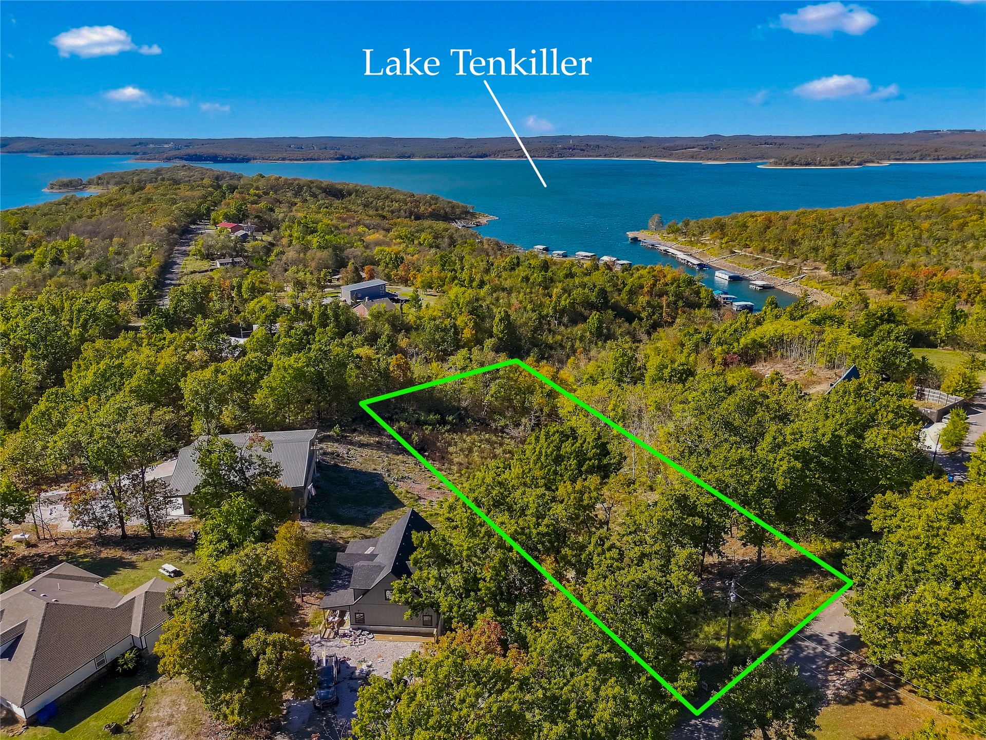
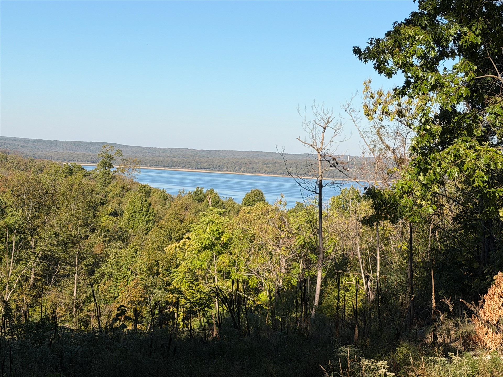
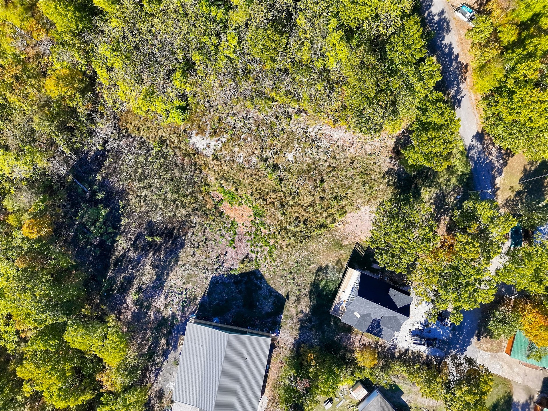
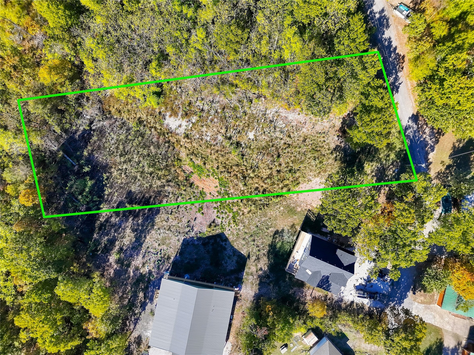
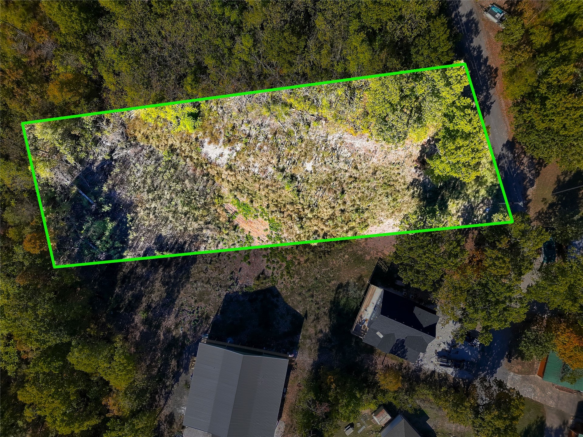
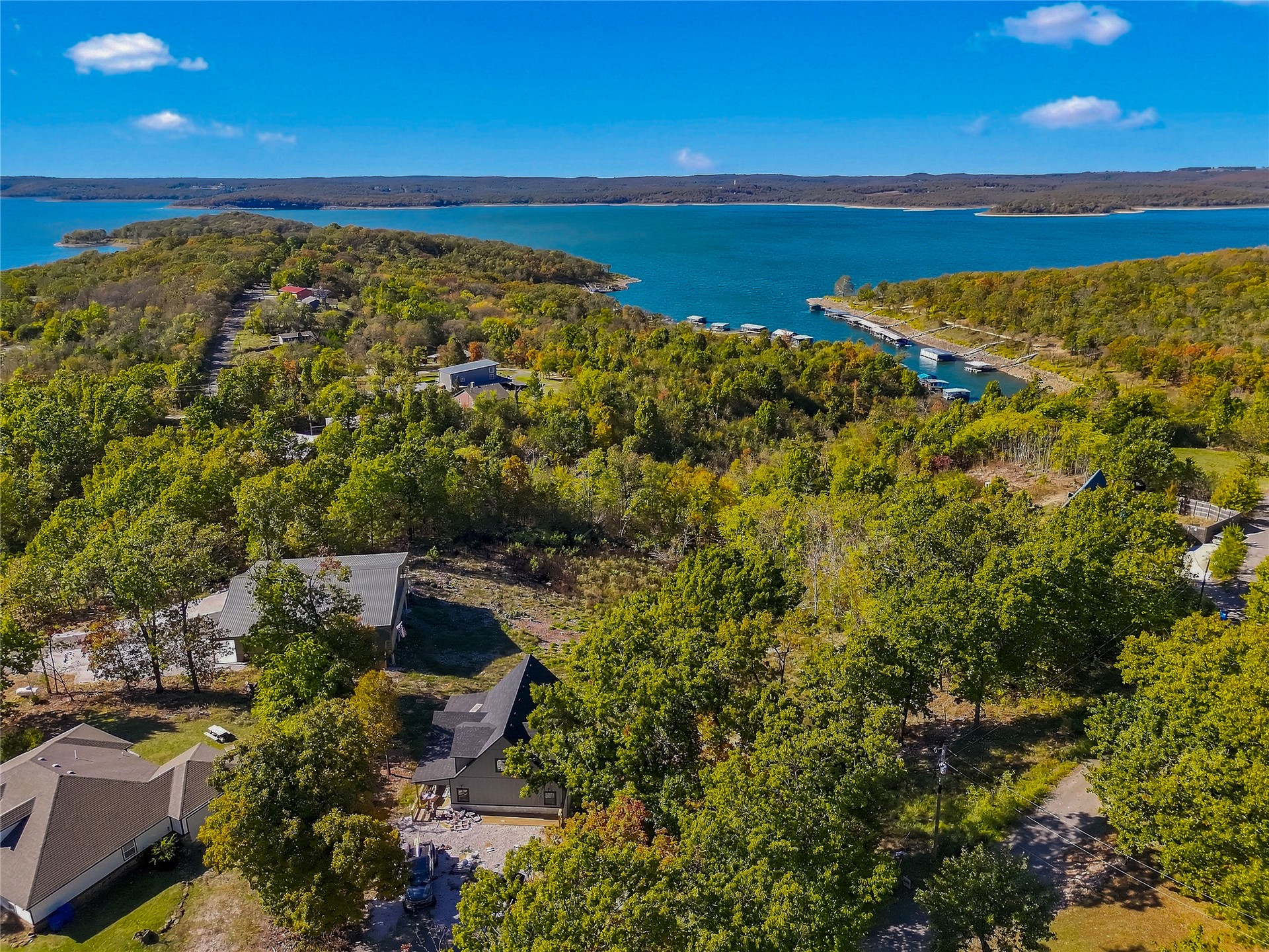
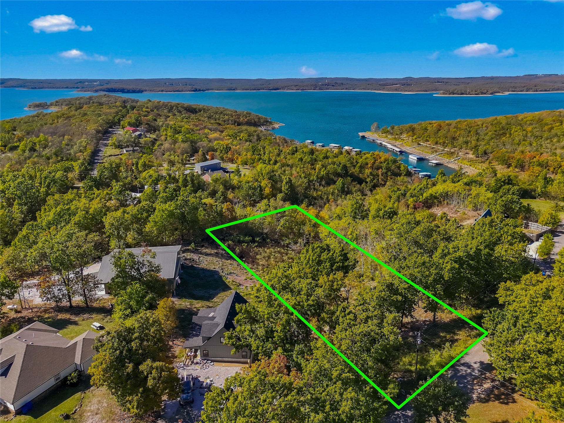
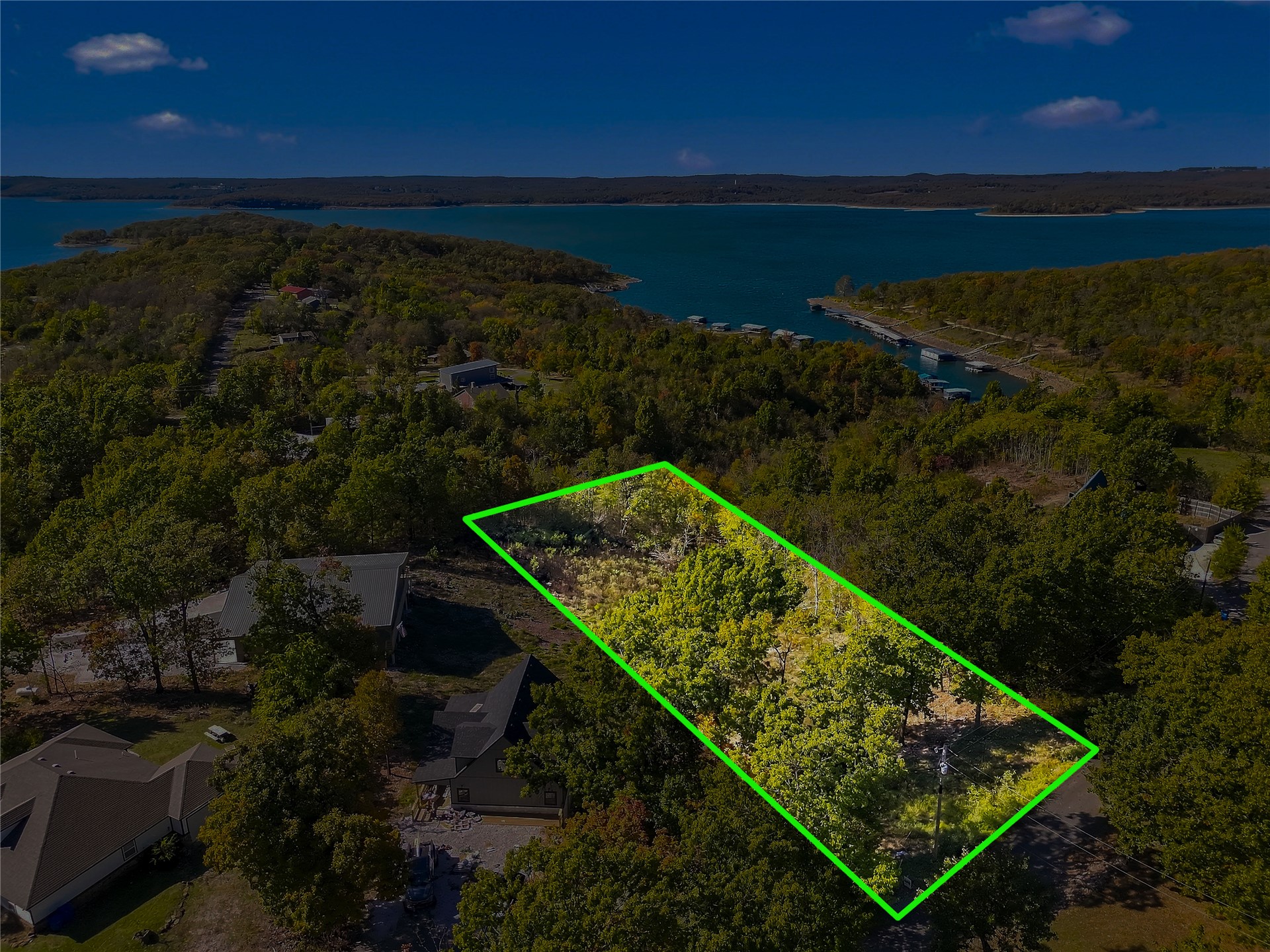
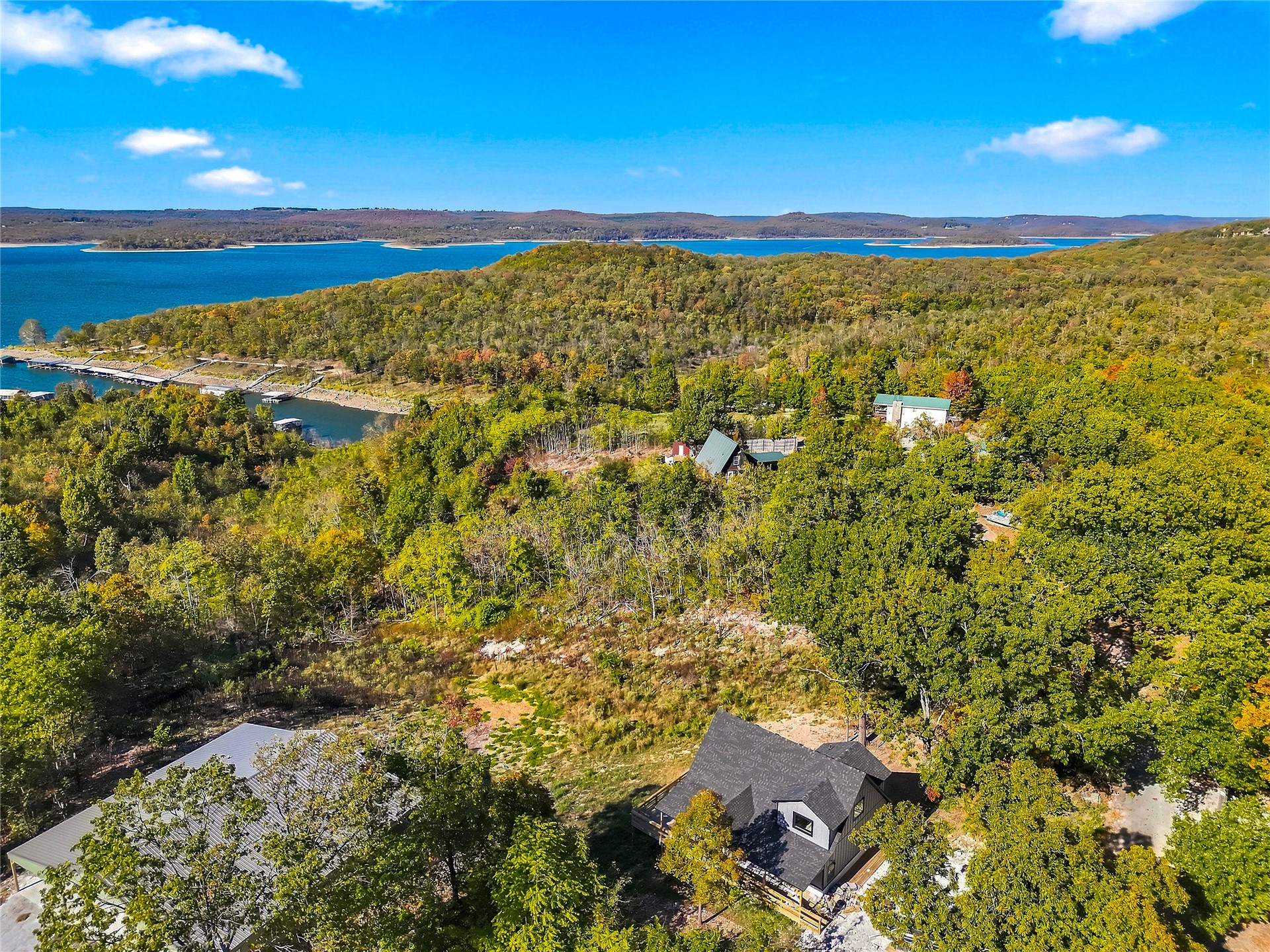
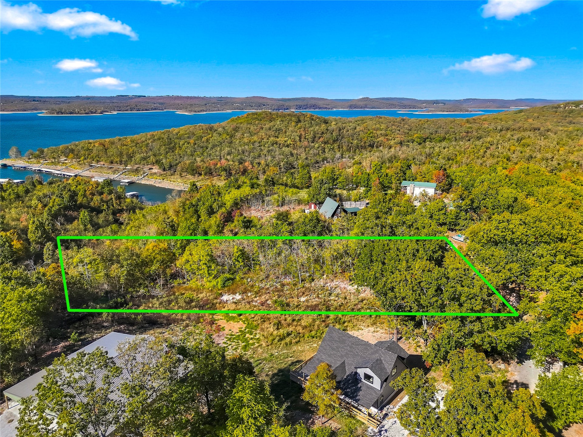
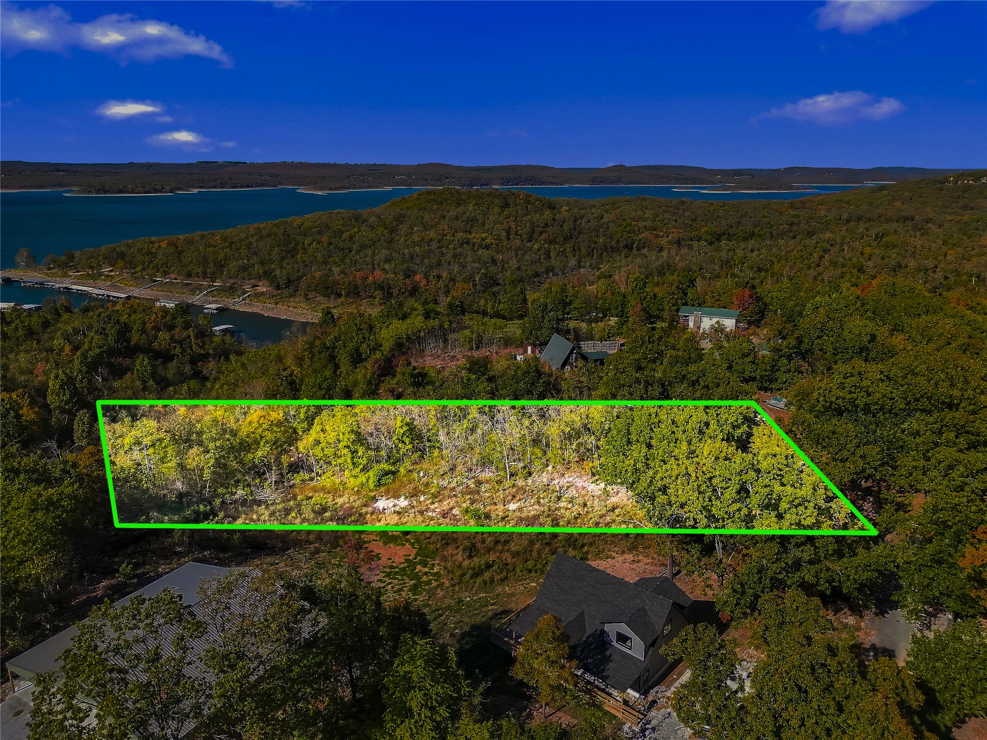
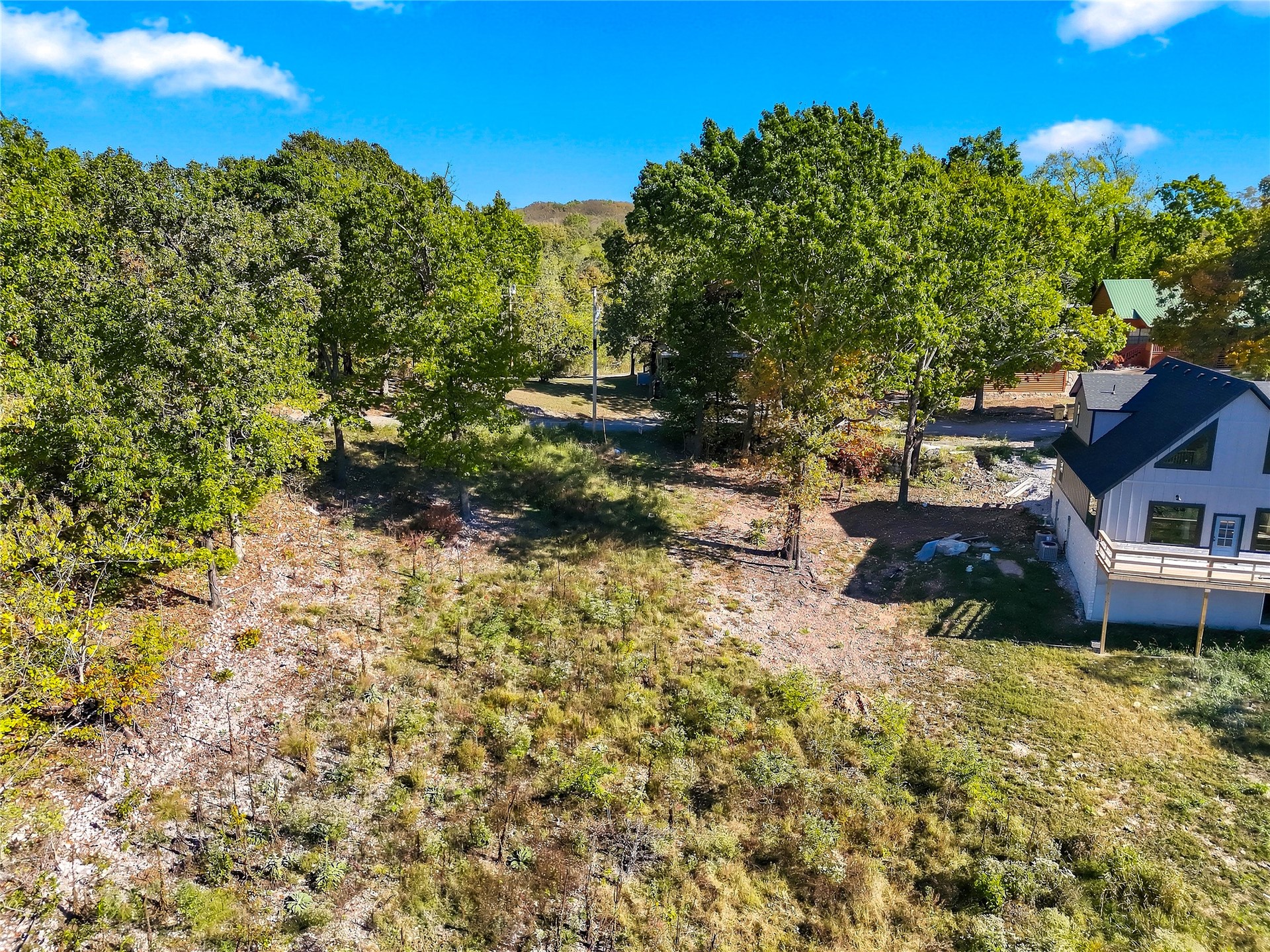
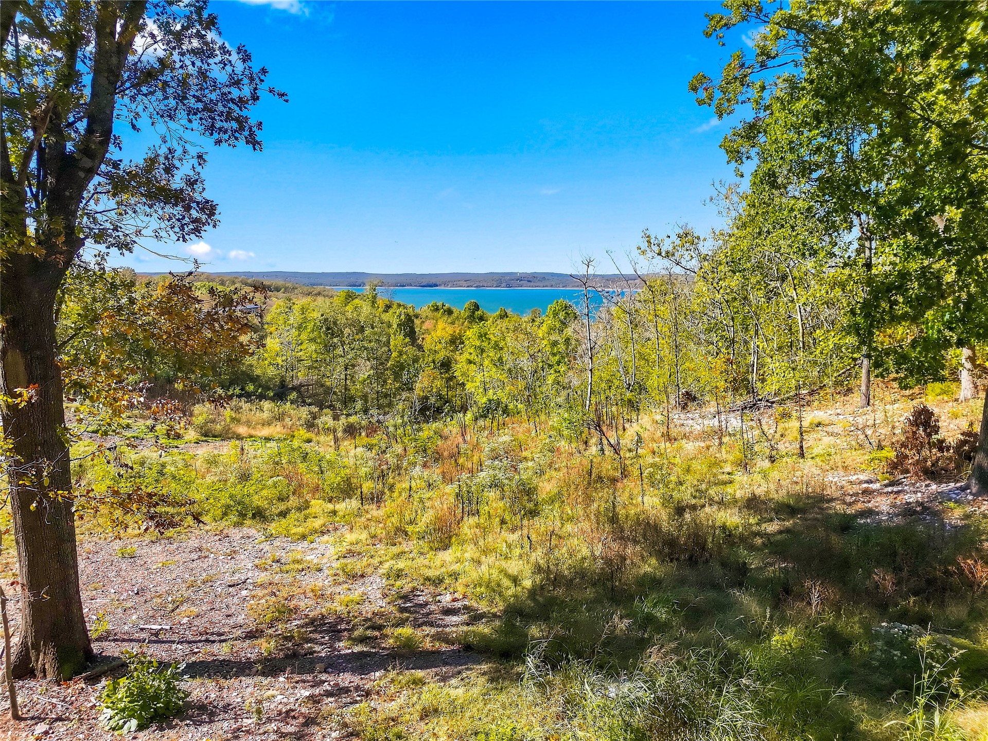
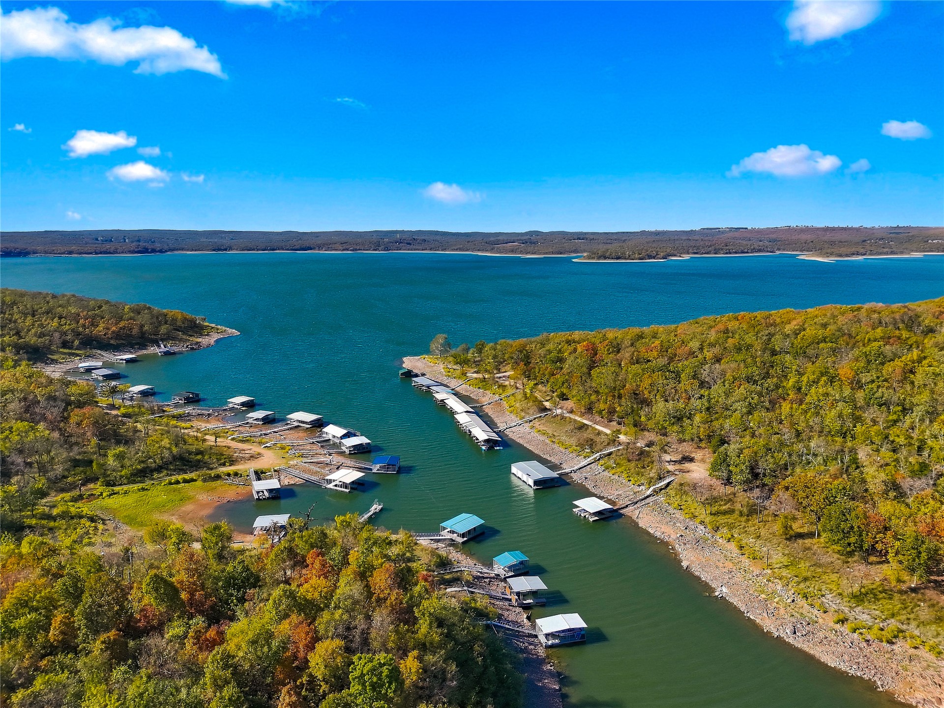
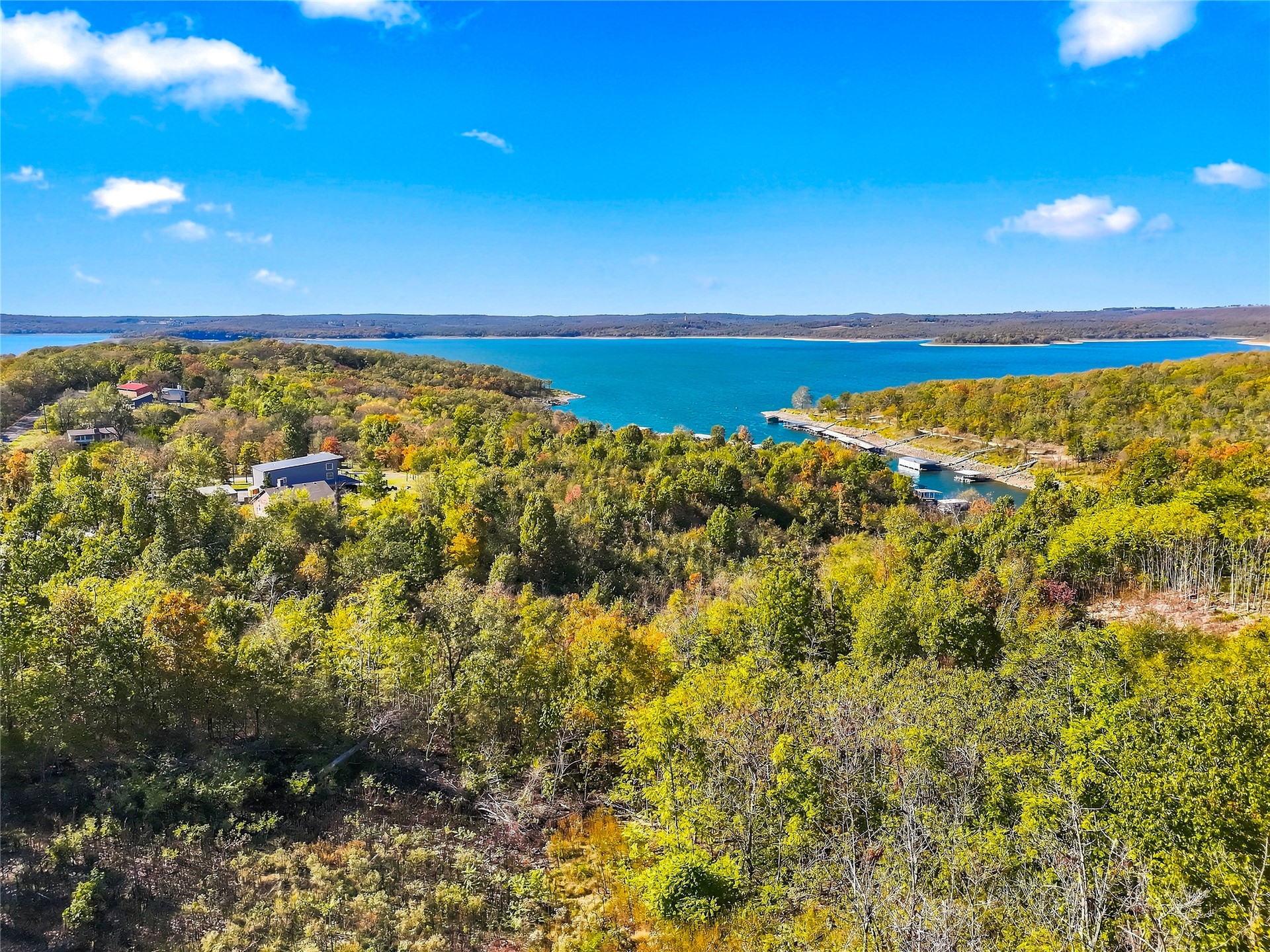
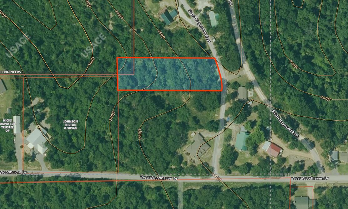
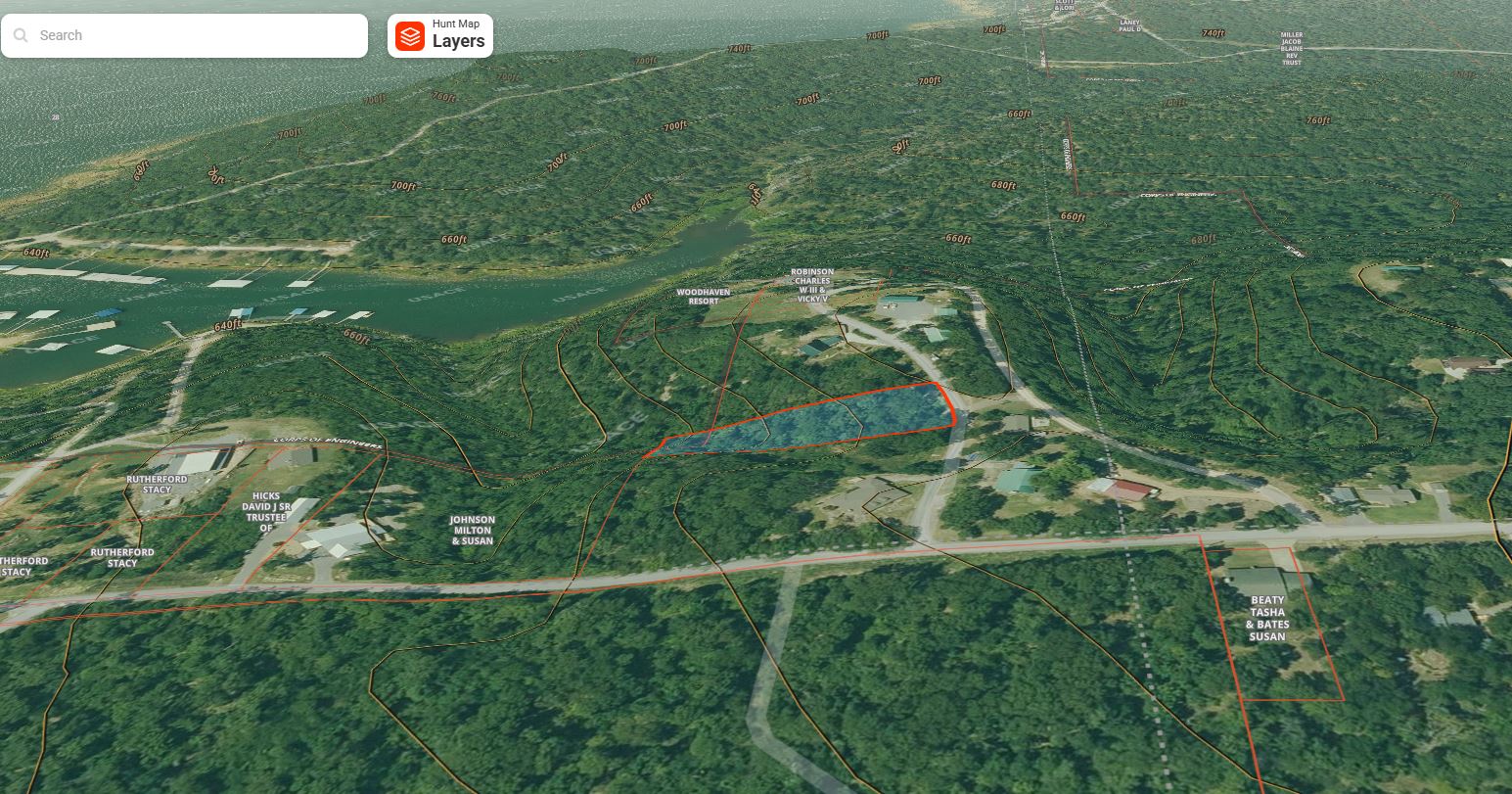
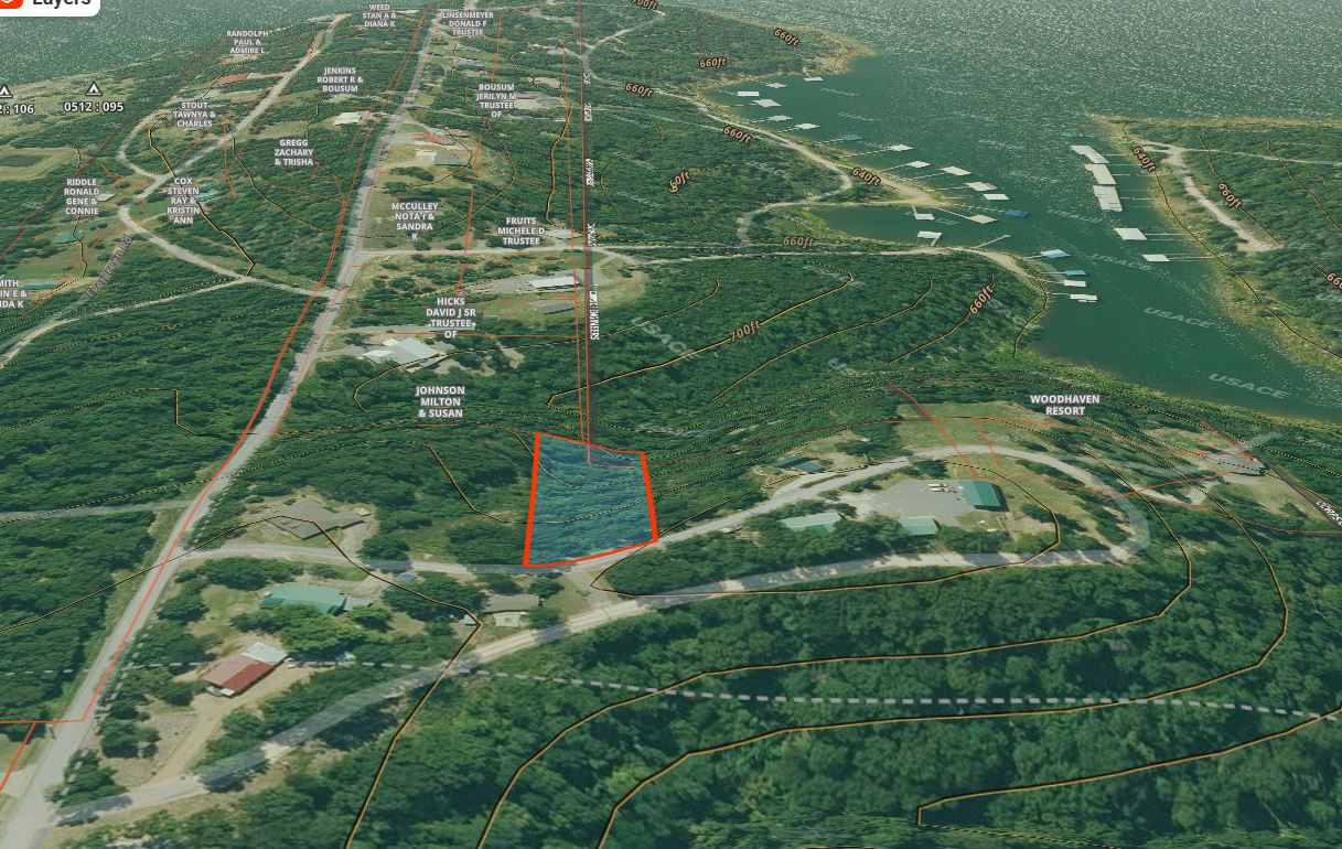
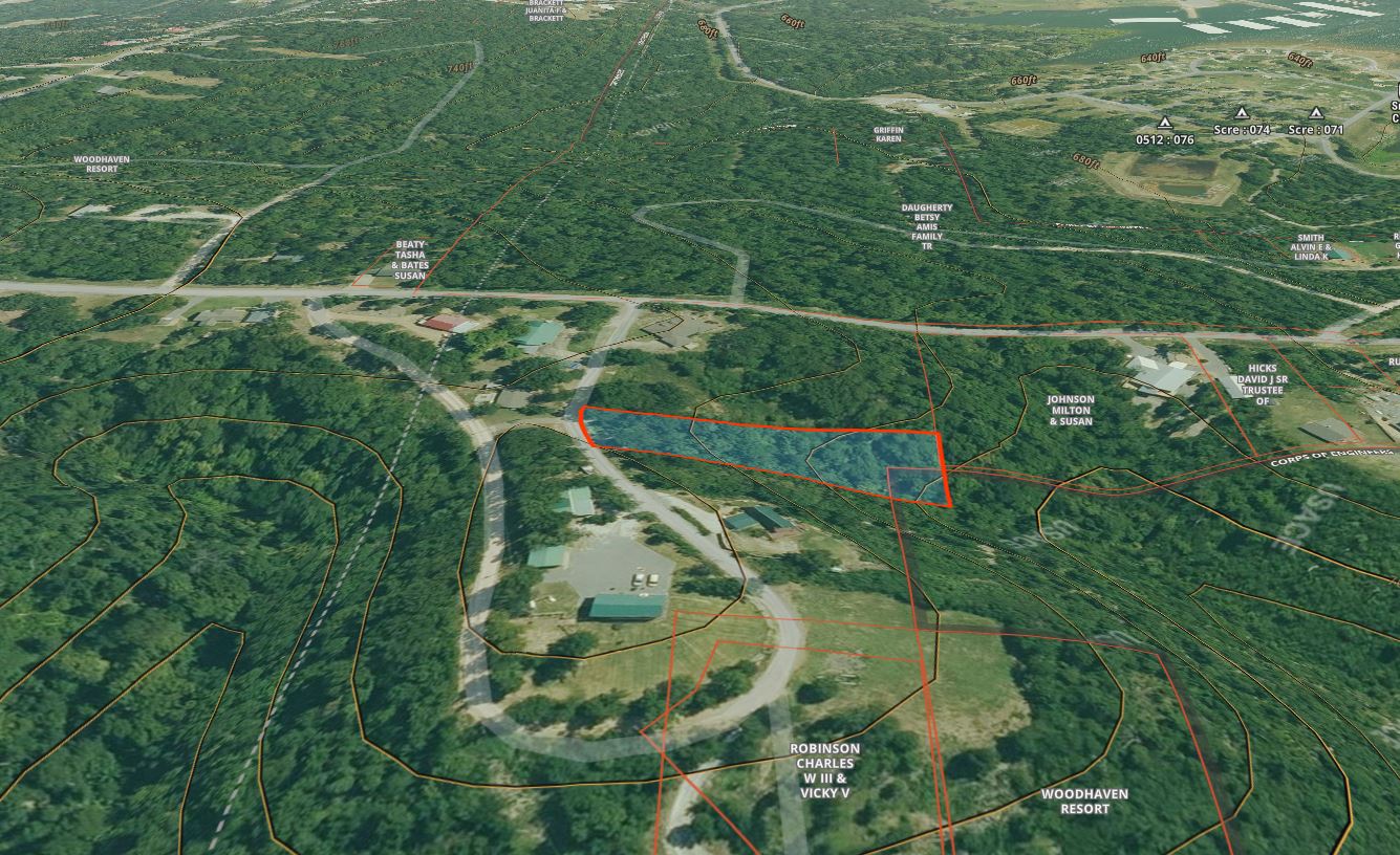
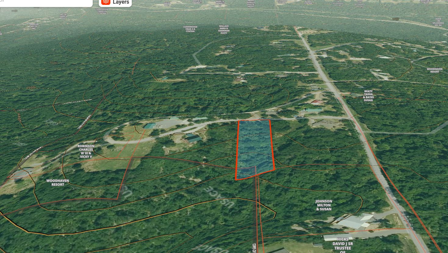
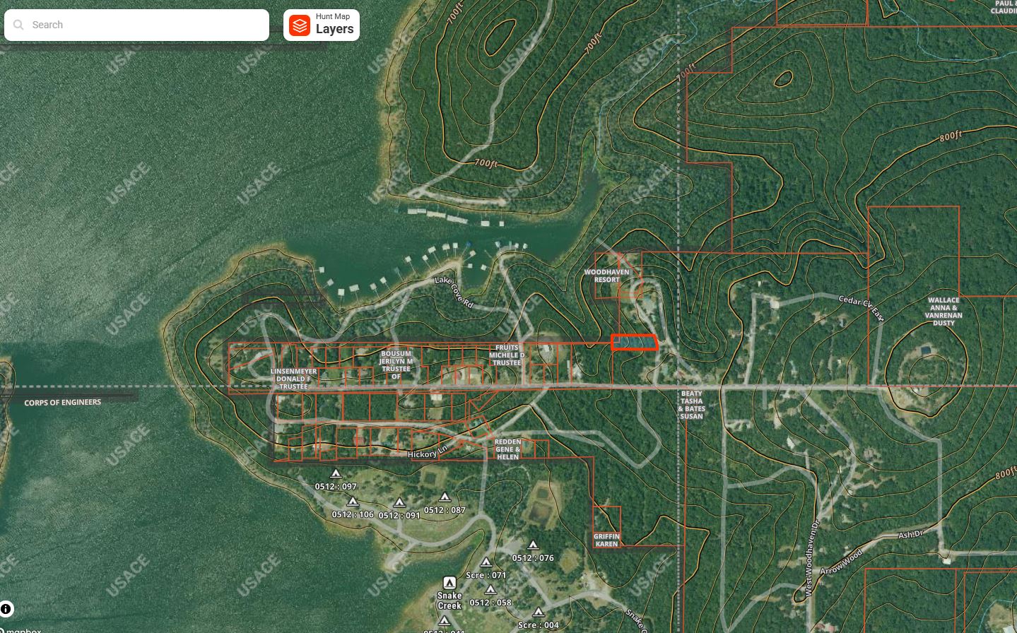
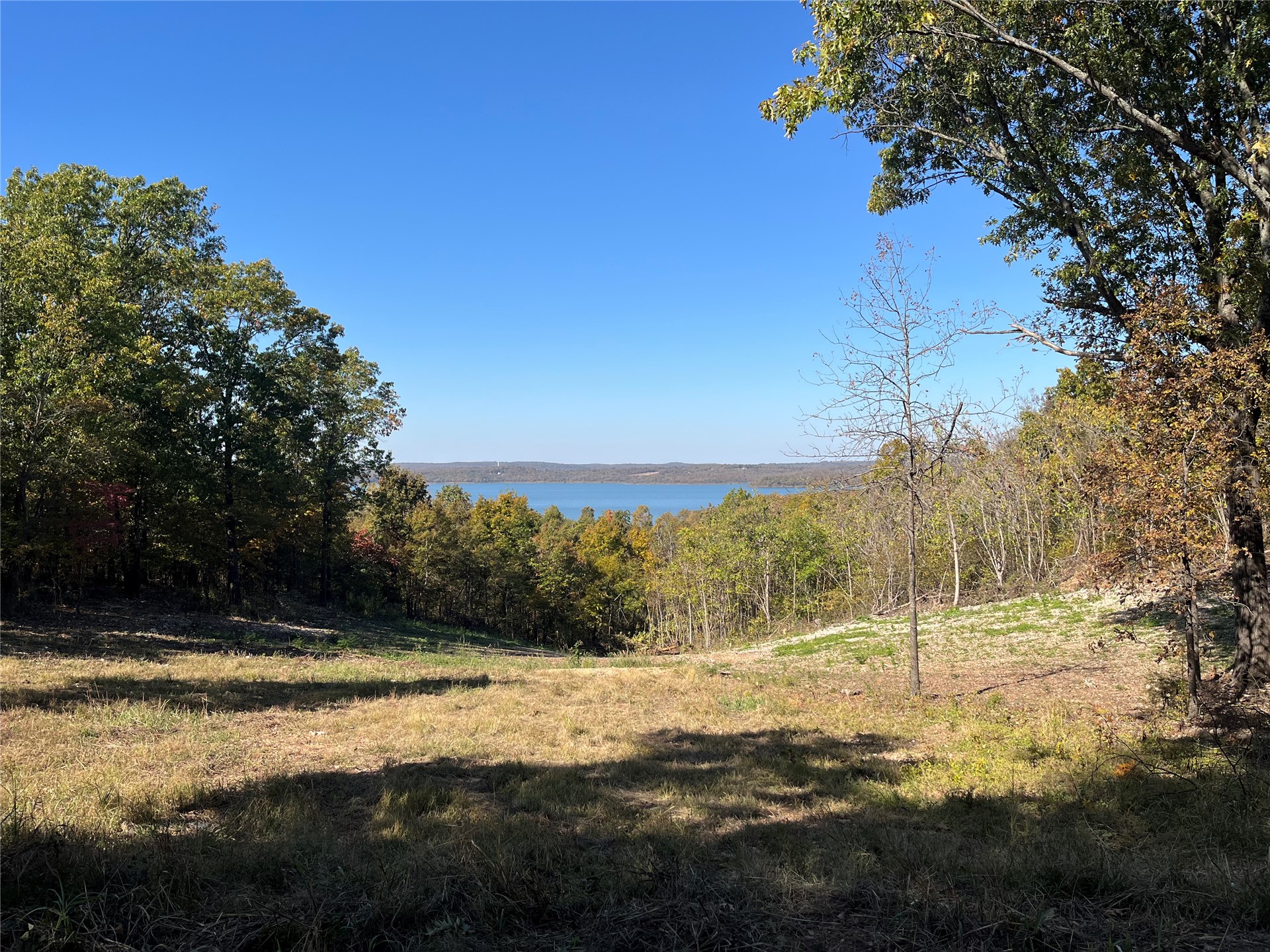
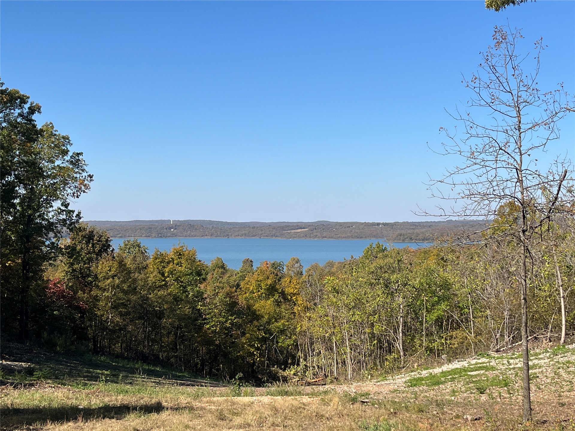
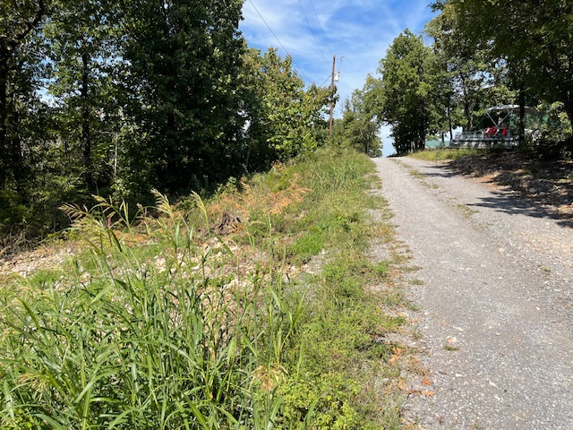
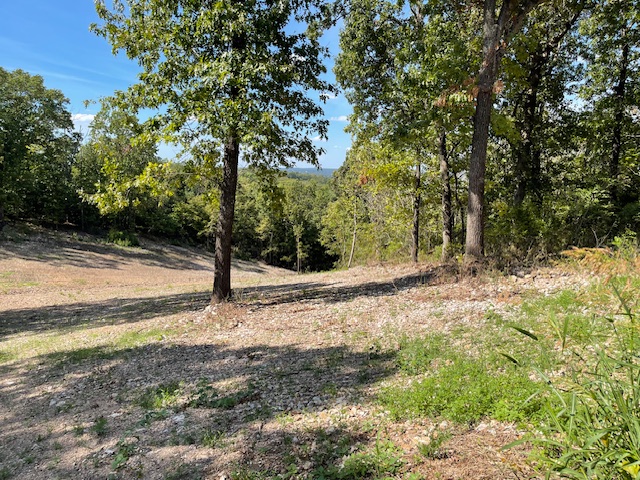
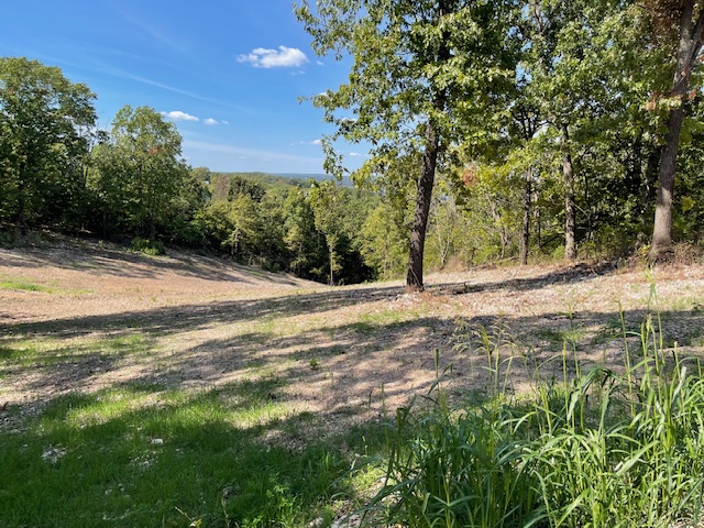
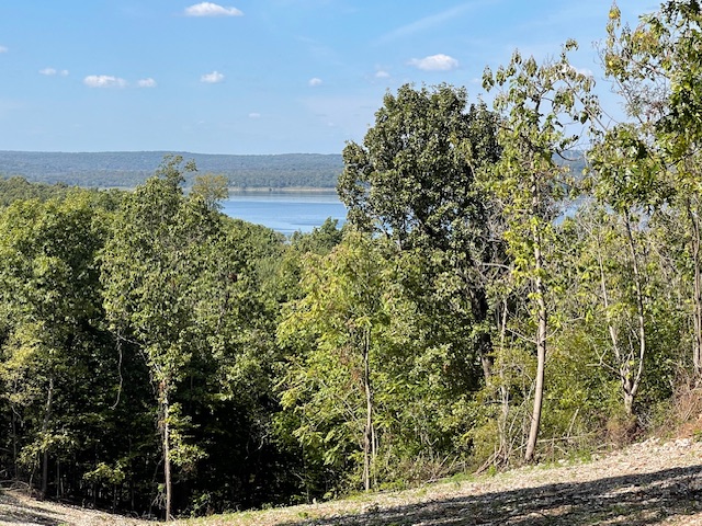
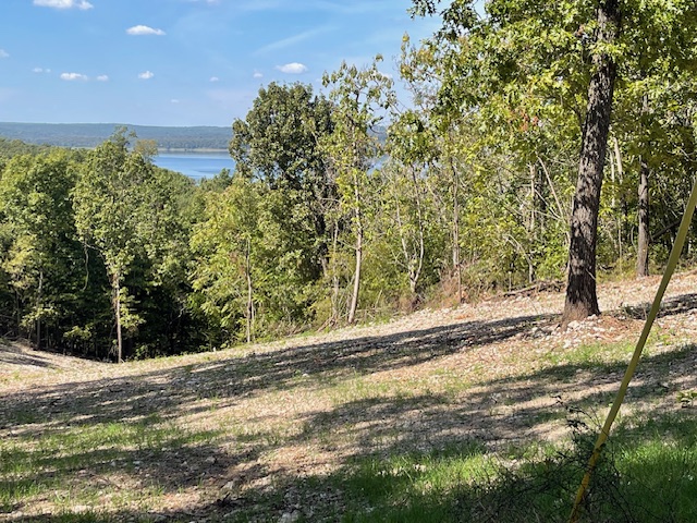
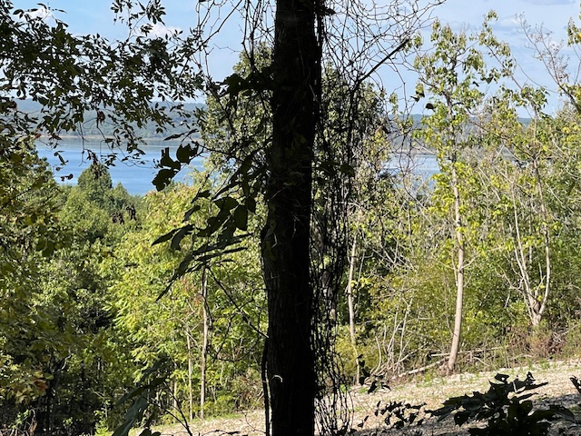
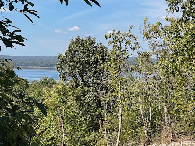
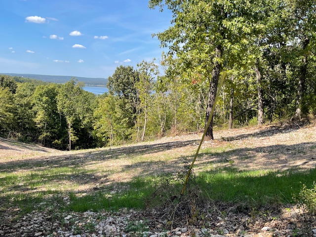
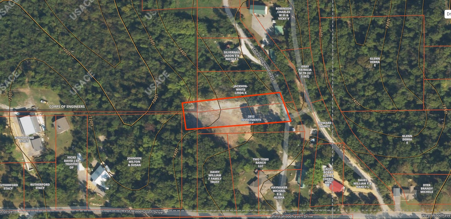
.77 Acre with Stunning Year-Round Lake Views - Snake Creek Area, Lake Tenkiller. Discover the perfect spot to build your dream home or vacation retreat on this .77-acre lot overlooking beautiful Lake Tenkiller. With year-round views of the water, this property offers endless potential-whether you're planning a custom residence or a lucrative VRBO investment. Located in the highly desirable Snake Creek area, you'll enjoy both convenience and natural beauty. A recent survey is on file, utilities are nearby, and there are no HOA restrictions, giving you the freedom to design your property the way you want. Seller is a licensed real estate agent. Don't miss out on this rare opportunity to own a piece of Lake Tenkiller paradise-whether for living, investing, or simply escaping to the lake life you've been dreaming of.
Details
| MLS # | 2638587 |
|---|---|
| Listing Type | For Sale |
| Sub-Type | Resale |
| Status | Active |
| Days On Site | 21 |
| Listing Provided By | Keller Williams Market Pro | Matthew Ford |
Features
| Zoning | None |
|---|---|
| Acreage | 0.77 |
| Property View | Yes |
Exterior
| Lot Features | Other, See Remarks, Views, Lake Front |
|---|
Taxes
| Tax Annual Amount | 35 |
|---|
Area Information
| State | OK |
|---|---|
| County | Cherokee |
| City | Cookson |
| Zip Code | 74427 |
| Community Name | Woodhaven |
| Listing VS Median (in Woodhaven) | |
Price: $125,000 low | high Med: $0 On site: 21 low | high Med: | |
Market Activity 74427
Request a showing
Request a showing
Contact
Learn More About This Property

| State | OK |
|---|---|
| County | Cherokee |
| City | Cookson |
| Zip Code | 74427 |
| Community Name | Woodhaven |
| Listing VS Median (in Woodhaven) | |
Price: $125,000 low | high Med: $0 On site: 21 low | high Med: | |